Tool
Live vessel tracking across the North Sea.
Explore live AIS vessel positions across Norwegian waters and the wider North Sea / UKCS, with colour-coded ship types, speed, course, dimensions, navigation status, and recent tracks alongside offshore data.
What it shows
- Live and recently signal-lost positions from Kystverket’s open AIS feed in Norwegian waters and from AISStream across the wider North Sea and UKCS.
- Sharp vector symbols coloured by broad vessel category, scaled where reported dimensions are available; stationary vessels are drawn as dots to reduce clutter.
- Name, MMSI, IMO number, call sign, dimensions, navigational status, speed, course, and report age where those fields have been received.
- Up to about an hour of recent trail for the selected vessel, plus an optional density view that is switched off by default.
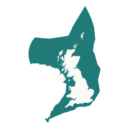
Coverage area
Vessel types and particulars
AIS position reports do not always carry a vessel name, type, dimensions, call sign, or IMO number. Those particulars arrive in separate static messages and may be transmitted much less often than positions.
The tracker remembers the most complete particulars received for each MMSI and uses them to enrich later position reports. As the service observes more static messages, some vessels initially shown as “Other / unknown” can acquire a more specific category, name, and dimensions. Some transmitters may never provide every field.
Recent vessel trails
Select a vessel to see up to around an hour of its recent movement. Trails are drawn alongside offshore fields, wind farms, pipelines, cables, seabed data, and other atlas layers, making vessel activity easier to understand in its wider geographic context.
Position history is retained securely for operational continuity and is not offered as a public bulk-history export.
Source and coverage
Norwegian coverage is collected by the Norwegian Coastal Administration (Kystverket) and delivered through the authenticated BarentsWatch Live AIS API under the Norwegian Licence for Open Government Data (NLOD) unless an individual API states otherwise. That public feed excludes fishing vessels under 15 metres and leisure or sailing vessels under 45 metres, and is limited to the Norwegian economic zone and the protection zones around Svalbard and Jan Mayen.
Wider North Sea and UKCS positions come from AISStream.io. Where both feeds report the same vessel, the newer position is shown. AISStream is a community beta stream with no uptime guarantee.
AIS availability varies with vessel transmitters and receiver coverage, while static details such as name, type, and dimensions can arrive less frequently than position reports. The tracker remembers the most complete particulars received, so the information shown for a vessel can improve over time.
For situational context only—not for navigation, collision avoidance, emergency response, or operational decision-making. Always use official navigational systems and authoritative maritime services.